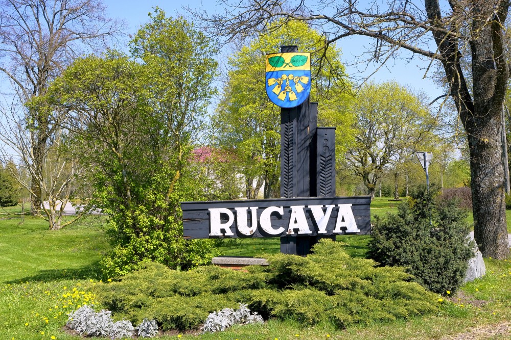
Rucava Village, Latvia
Rucava (Lithuanian: Rukiava, German: Rutzau) is a village in Rucava Municipality, Latvia.
| Rucava | |
| Village | |
| Country | Latvia |
| Municipality | Rucava |
| Parish | Rucava |
| First time mentioned | 1253 |
| Area | 0.7 sq mi (1.7 km2) |
| Population (2006) | 700 |
The rural district of Rucava lies in the south-east of Latvia, in the utmost southern corner of Liepāja district between the Baltic Sea and the Lithuanian border. The total area of the district amounts to 23 805,2 ha, ~ 30 % of which is comrpised of agrarian land and another ~ 30 % - by forests.
The rural district of Rucava lies in the south-east of Latvia, in the utmost southern corner of Liepāja district between the Baltic Sea and the Lithuanian border. The total area of the district amounts to 23 805,2 ha, ~ 30 % of which is comrpised of agrarian land and another ~ 30 % - by forests.
The district’s border was shifted for the last time in 1974, when the Kalnišķi village was annexed to the district of Nīca. Rucava district is comprised of 18 villages: Rucava, Rucava Manor, Pape, the Priediengalciems village of Pape, the Ķoņu village of Pape, Nida, Ģeistauti, Līkuma village, Pirkuļi, Zirnāja village, Sviļu village, Palaipe, Meirišķe, Bajāriņu village, Ķāķišķe, Mikņu village, Peši and Jūči. The entire district contains 134 km of municipal roads.
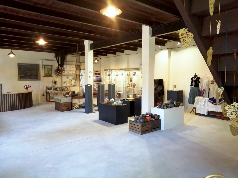
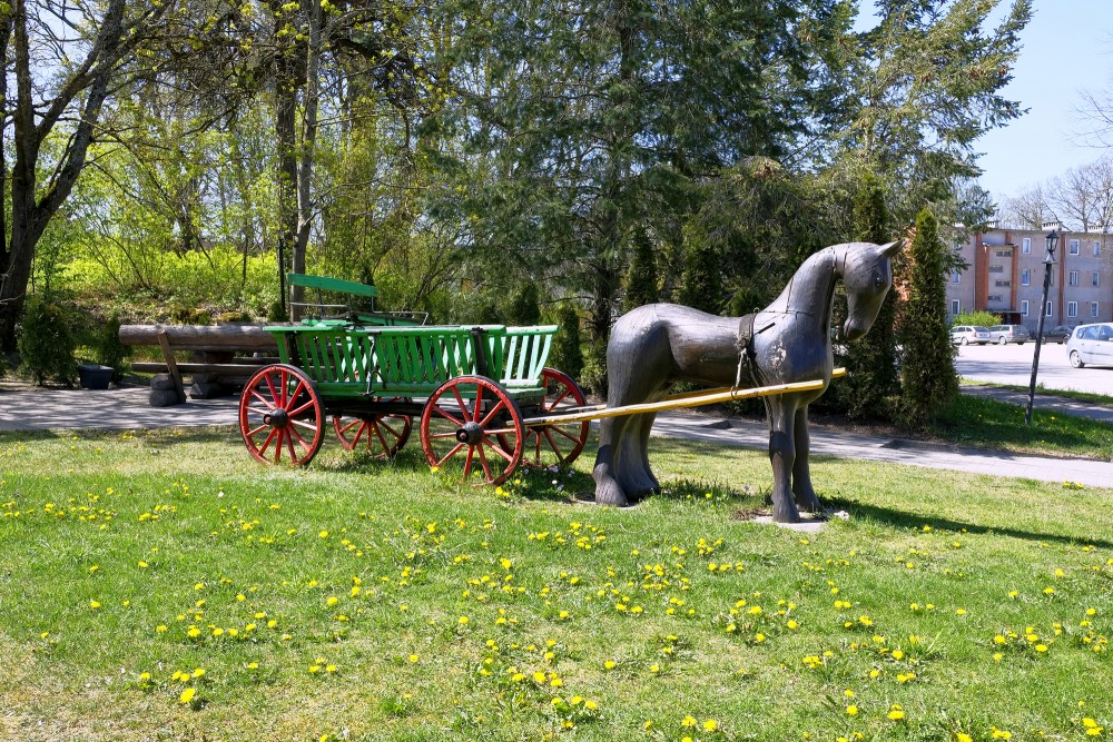
Rucava district has 1400 inhabitants, the majority of whom live in the district centre, in Rucava. There are several prominent companies operating in the Rucava district which specialise in the extraction and processing of turf, the cutting and processing of reed in Lake Pape, forest exploitation and woodwork, cultivation of large cranberries. There are six guest houses, two shops, a kindergarten, a school, a music school, a library with an exposition of regional history, a tourism information centre, an ambulance, a drugstore, a culture centre, a club of Rucava local traditions. The district has two parishes – Lutheran and Baptist, 19 cemeteries and one chapel in the Rucava main cemetery.
Around a half of the Rucava district area consists of nature reserves, the largest of whom is the Pape Natural Park. The major part of the district area lies on the sandy Coastal Lowland while the rest – on the flat waves of Sventāja hills. The central part of the Coastal Lowland is occupied by the Nida Marsh and Lake Pape. A strip of high dunes stretches from the Priediengals of Pape to Jūrmalciems. The highest dune in the Rucavas district is the Lāva Hill in Pape (27 m). The largest river is called Sventāja or Sventa, flowing on the border between Latvia and Lithuania; other rivers – Paurupe, Līgupe, Vārnupe, Kliņķupe, etc.
All five water carrying layers are used in the district water supply. 1700m deep thermal waters (up to 62,4 C) have been found in the vicinity of Pape, as well as prospective oil deposits.
The major part of the district area belongs to the coastal geobotanical region, only its eastern part – the Sventāja hills – is attributable to the geobotanical region of Kurzeme. The vegetation is comprised of the typical flora of dunes and dune valleys, forests, swamps and lagoon lakes. Within the Rucava district area one can find around 40 species of plants included in the Red Data Book of Latvia, 15 of which are considered extremely rare. Approximately 20 rare and protected plant species of the Latvian flora grow only in the Rucava district, such as the European birch and the Shepherd’s cress.
www.latvia.travel